Sometimes we get asked “what’s the difference between Solcast data and forecasts from the (many) generic weather apps and APIs?”.
A picture tells a thousand words, so we asked the modeling team to pull a quick comparison for us.
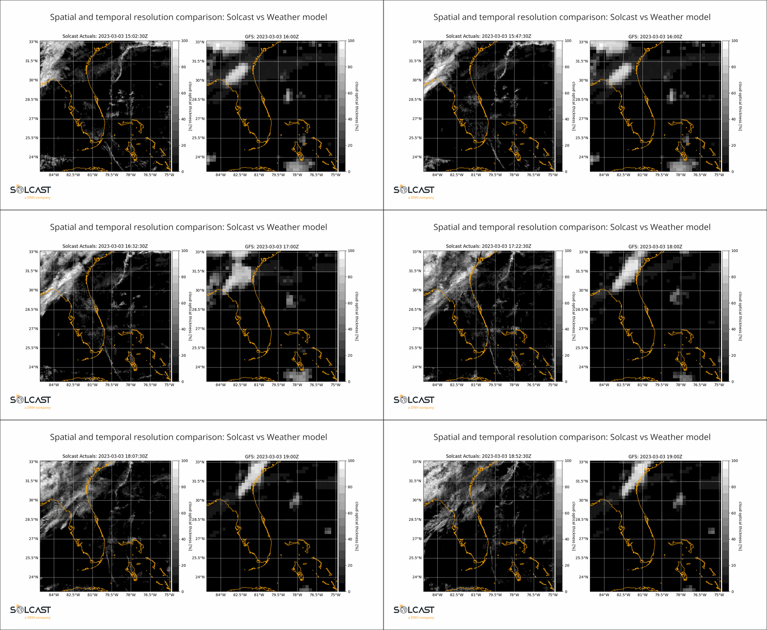
This comparison over Florida on March 3rd shows the stark difference between the high spatial and temporal resolution of a dedicated, real time satellite-cloud-tracking solar dataset like Solcast, and a generic weather model forecast.
Why is there so much difference?
These weather models, known to forecasters as “NWP”, are the main source of data behind weather apps, weather APIs and most weather forecasts. For regular “everywhere” weather metrics like temperature and air pressure, these models are very good. For metrics related to clouds, which are not “everywhere”, these models do rather poorly, especially on-the-day when we can actually track and re-forecast the clouds using high resolution satellite images that arrive every 5 to 15 minutes. The models simply don’t know where the clouds are, so they have to guess.
For forecasts of “tomorrow”, these cloud guesses are all we have - so we do use these models as an input to our forecasts, but we never use them “raw” like weather apps and weather APIs do. We perform machine learning against our own satellite-measured data to correct some of the blind spots of each model, and then we also use four different models, and learn which ones are better for almost every location on earth.
The weather model shown in this comparison is the “GFS” model by the US agency NOAA. We could have also shown the other weather models that we use, however all global weather models are similar in that (1) they have much lower temporal and spatial resolution, and (2) they don’t update every 5 to 15 minutes using real satellite measurement data - instead they update only around four times per day. Some regional weather models do have higher resolution, but at best they update once per hour, and they are unable to fully assimilate the available satellite info.
How does Solcast get that much detail?
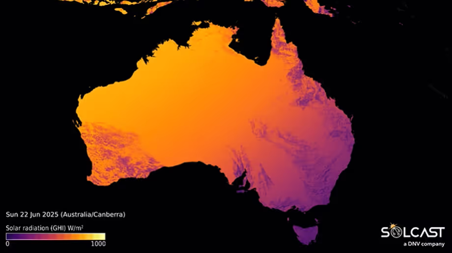
The very best solar models are constantly tracking and re-forecasting cloud cover using satellite images that arrive every 5-15 minutes. Our methodology for arriving at a single metric like Global Horizontal Irradiance (GHI) requires a ‘clear sky’ model, that considers aerosols (dust, salt, etc.), water vapour, air pressure, elevation and surface reflectivity (albedo) before subtracting cloud effects. Forecasting like this processes large amounts of data, 600 million forecasts an hour for us at Solcast, but are able to create very high levels of accuracy. Maintaining a high level of accuracy in these forecasts takes lots of work from our team, but we’re proud of the accuracy levels we have achieved.
We love the work of NOAA and GFS data, and the many weather apps and weather APIs that use their data, but if you’re in a business where solar production and performance matters, you should be getting your data from a proven solar specialist like Solcast.
If you’re looking for accurate, high resolution solar data or forecasts, get in touch!


